 vesseltracker.com
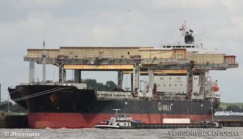
Vessel Jacamar Arrow IMO: 9007532, MMSI: 311044400 General Cargo Ship
UTC, 43.61633, -5.96836, course: 61, speed: 0.1
UTC, 43.61687, -5.96859, course: 64, speed: 0.6
2026-03-24 17:52:29 UTC, 43.61681, -5.96812, course: 58, speed: 0.2
Live Vessel Jacamar Arrow Analytics (details, animations, etc.)
Live AIS position: UTC. Near Lloreda), updated 2026-03-24 17:52:29 UTC.Find the position of the vessel Jacamar Arrow on the map. The latter are known coordinates and path.
marine traffic ship tracker show on live map
The current position of vessel Jacamar Arrow is 43.61681 lat / -5.96812 lng. Updated: 2026-03-24 17:52:29 UTCCurrently sailing under the flag of Bahamas
Jacamar Arrow built in 1992 year
Deadweight:
46998 tDetails:
Last coordinates of the vessel:
UTC, 43.61608, -5.96805, course: 49, speed: 0.4UTC, 43.61633, -5.96836, course: 61, speed: 0.1
UTC, 43.61687, -5.96859, course: 64, speed: 0.6
2026-03-24 17:52:29 UTC, 43.61681, -5.96812, course: 58, speed: 0.2