 vesseltracker.com
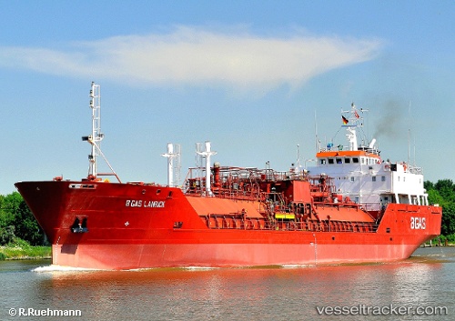
Vessel Pablo IMO: 9008500, MMSI: 374118000 Lpg Tanker
UTC, 18.57391, -72.34632, course: -1, speed: 0
UTC, 18.57390, -72.34631, course: -1, speed: 0
2026-03-05 09:32:41 UTC, 18.57389, -72.34627, course: -1, speed: 0
Live Vessel Pablo Analytics (details, animations, etc.)
Live AIS position: UTC. Near Port Au Prince), updated 2026-03-05 09:32:41 UTC.Find the position of the vessel Pablo on the map. The latter are known coordinates and path.
marine traffic ship tracker show on live map
The current position of vessel Pablo is 18.57389 lat / -72.34627 lng. Updated: 2026-03-05 09:32:41 UTCDetails:
Last coordinates of the vessel:
UTC, 18.57394, -72.34634, course: -1, speed: 0UTC, 18.57391, -72.34632, course: -1, speed: 0
UTC, 18.57390, -72.34631, course: -1, speed: 0
2026-03-05 09:32:41 UTC, 18.57389, -72.34627, course: -1, speed: 0