 vesseltracker.com
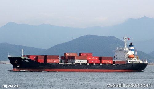
Vessel Doowoo Family IMO: 9014121, MMSI: 440065000 Container Ship
Live AIS position:
UTC. 94 nm SW of Taniyama),
updated 2026-01-10 21:44:54 UTC.
Find the position of the vessel Doowoo Family on the map. The latter are known coordinates and path.
marine traffic ship tracker show on live map
The current position of vessel Doowoo Family is 30.03974 lat / 129.20638 lng. Updated: 2026-01-10 21:44:54 UTCDetails:
Last coordinates of the vessel:
2026-01-10 21:44:54 UTC, 30.03974, 129.20638, course: -1, speed: 54.7