 vesseltracker.com
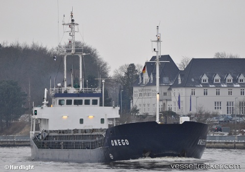
Vessel Captain Diamantis IMO: 9021083, MMSI: 240039100 Multi Purpose Carrier
UTC, 36.70787, 24.45916, course: 13, speed: 1.9
UTC, 36.70787, 24.45916, course: 13, speed: 1.9
2026-03-24 13:41:45 UTC, 36.70787, 24.45916, course: 13, speed: 1.9
Live Vessel Captain Diamantis Analytics (details, animations, etc.)
Live AIS position: UTC. Near MILOS), updated 2026-03-24 13:41:45 UTC.Find the position of the vessel Captain Diamantis on the map. The latter are known coordinates and path.
marine traffic ship tracker show on live map
The current position of vessel Captain Diamantis is 36.70787 lat / 24.45916 lng. Updated: 2026-03-24 13:41:45 UTCCurrently sailing under the flag of Greece
Captain Diamantis built in 1991 year
Deadweight:
2090 tDetails:
Last coordinates of the vessel:
UTC, 36.70181, 24.45980, course: 5, speed: 0.1UTC, 36.70787, 24.45916, course: 13, speed: 1.9
UTC, 36.70787, 24.45916, course: 13, speed: 1.9
2026-03-24 13:41:45 UTC, 36.70787, 24.45916, course: 13, speed: 1.9