 vesseltracker.com
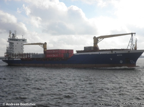
Vessel Ahmet Telli IMO: 9035292, MMSI: 271044013 Chemical Tanker
UTC, 45.27667, 36.83333, course: -1, speed: -0.1
UTC, 45.27667, 36.83333, course: -1, speed: -0.1
UTC, 45.27667, 36.83333, course: -1, speed: -0.1
UTC, 45.27667, 36.83333, course: -1, speed: -0.1
2026-02-24 18:12:47 UTC, 45.27667, 36.83333, course: -1, speed: -0.1
Live AIS position:
UTC. Near Taman),
updated 2026-02-24 18:12:47 UTC.
Find the position of the vessel Ahmet Telli on the map. The latter are known coordinates and path.
marine traffic ship tracker show on live map
The current position of vessel Ahmet Telli is 45.27667 lat / 36.83333 lng. Updated: 2026-02-24 18:12:47 UTCCurrently sailing under the flag of Turkey
Ahmet Telli built in 1994 year
Deadweight:
6049 tDetails:
Last coordinates of the vessel:
UTC, 45.27667, 36.83333, course: -1, speed: -0.1UTC, 45.27667, 36.83333, course: -1, speed: -0.1
UTC, 45.27667, 36.83333, course: -1, speed: -0.1
UTC, 45.27667, 36.83333, course: -1, speed: -0.1
UTC, 45.27667, 36.83333, course: -1, speed: -0.1
2026-02-24 18:12:47 UTC, 45.27667, 36.83333, course: -1, speed: -0.1