 vesseltracker.com
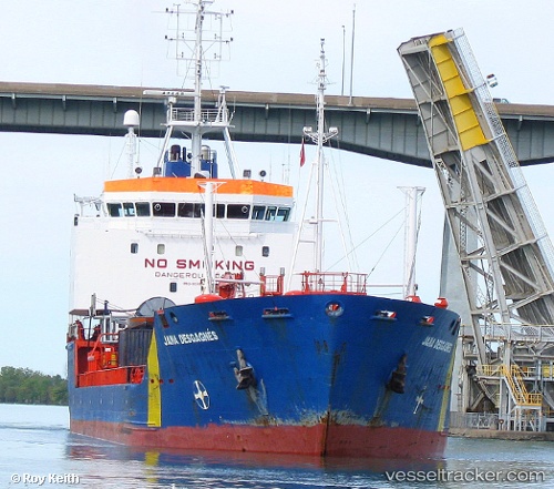
Vessel ANTARES IMO: 9046564, MMSI: 273299020 Chemical Tanker
UTC, 42.87167, 131.39500, course: -1, speed: 0
UTC, 42.87167, 131.39500, course: -1, speed: 0
2026-02-17 17:16:53 UTC, 42.87167, 131.39500, course: -1, speed: 0
Live AIS position:
UTC. Near Slavyanka ),
updated 2026-02-17 17:16:53 UTC.
Find the position of the vessel ANTARES on the map. The latter are known coordinates and path.
marine traffic ship tracker show on live map
The current position of vessel ANTARES is 42.87167 lat / 131.39500 lng. Updated: 2026-02-17 17:16:53 UTCCurrently sailing under the flag of Russia
ANTARES built in 1993 year
Deadweight:
10511 tDetails:
Last coordinates of the vessel:
UTC, 42.87167, 131.39500, course: -1, speed: 0UTC, 42.87167, 131.39500, course: -1, speed: 0
UTC, 42.87167, 131.39500, course: -1, speed: 0
2026-02-17 17:16:53 UTC, 42.87167, 131.39500, course: -1, speed: 0