 vesseltracker.com
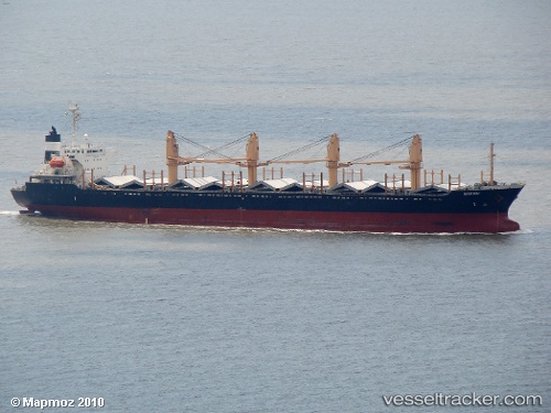
Vessel MARAKI IMO: 9104158, MMSI: 352001555 Bulk Carrier
Live AIS position:
UTC. 385 nm SE of Mirny),
updated 2025-10-09 02:08:40 UTC.
Find the position of the vessel MARAKI on the map. The latter are known coordinates and path.
marine traffic ship tracker show on live map
The current position of vessel MARAKI is -72.16877 lat / 101.86234 lng. Updated: 2025-10-09 02:08:40 UTCCurrently sailing under the flag of Panama
MARAKI built in 1994 year
Deadweight:
26472 tDetails:
Last coordinates of the vessel:
2025-10-09 02:08:40 UTC, -72.16877, 101.86234, course: 133, speed: 57