 vesseltracker.com
PSA CONNECTIVITY
Current StatusLive Vessel PSA CONNECTIVITY Analytics (details, animations, etc.)
Where is the vessel?
PSA CONNECTIVITY is currently in Near Singapore, based on AIS data received about 2h ago.
Latest AIS update:
Current position: 1.26499° N, 103.84214° E (Near Singapore)
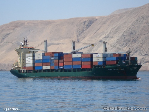
Vessel profile: PSA CONNECTIVITY is a Container Ship with dimensions 25m x 184m.
This page combines live AIS, route history, probable destination signals, nearby traffic, and port activity for practical vessel monitoring.
The current position of vessel PSA CONNECTIVITY is 1.26499 lat / 103.84214 lng. Updated: 2026-03-25 05:22:47 UTCNearest reference points:
- Near Singapore
- Near Choa Chu Kang
- Near Bukit Merah Estate
Currently sailing under the flag of Singapore
PSA CONNECTIVITY built in 1995 year
Deadweight:
23041 tDetails:
Last coordinates of the vessel:
2026-03-25 00:10:46 UTC, 1.26498, 103.84220, course: 313, speed: 02026-03-25 02:04:55 UTC, 1.26497, 103.84217, course: -1, speed: 0
2026-03-25 04:01:49 UTC, 1.26503, 103.84216, course: 313, speed: 0
2026-03-25 05:22:47 UTC, 1.26499, 103.84214, course: 314, speed: 0