 vesseltracker.com
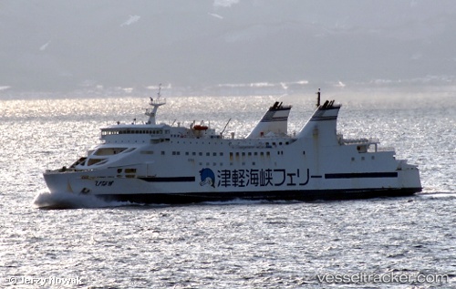
Vessel Athaya IMO: 9114567, MMSI: 525119018 Passenger Ro Ro Cargo Ship
UTC, -5.91285, 105.91032, course: 283, speed: 9.2
UTC, -5.86677, 105.76448, course: -1, speed: 7.5
2026-03-24 09:35:14 UTC, -5.87883, 105.79143, course: 111, speed: 10.5
Live Vessel Athaya Analytics (details, animations, etc.)
Live AIS position: UTC. Near BAKAUHENI), updated 2026-03-24 09:35:14 UTC.Find the position of the vessel Athaya on the map. The latter are known coordinates and path.
marine traffic ship tracker show on live map
The current position of vessel Athaya is -5.87883 lat / 105.79143 lng. Updated: 2026-03-24 09:35:14 UTCCurrently sailing under the flag of Indonesia
Details:
Last coordinates of the vessel:
UTC, -5.92858, 105.95237, course: 112, speed: 11.6UTC, -5.91285, 105.91032, course: 283, speed: 9.2
UTC, -5.86677, 105.76448, course: -1, speed: 7.5
2026-03-24 09:35:14 UTC, -5.87883, 105.79143, course: 111, speed: 10.5