 vesseltracker.com
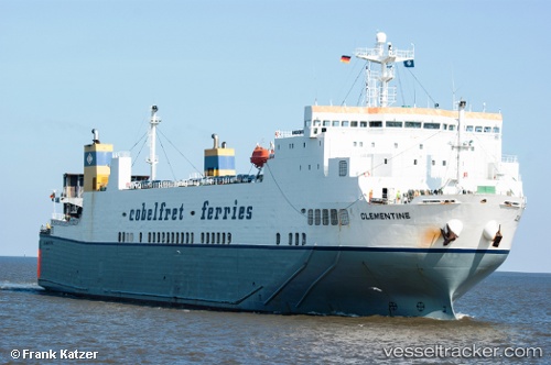
Vessel BLUE CARRIER 2 IMO: 9125384, MMSI: 241895000 Ro-Ro Cargo
UTC, 37.95324, 23.60637, course: 291, speed: 0
UTC, 37.95329, 23.60633, course: 291, speed: 0
2026-03-24 23:31:22 UTC, 37.73924, 23.66801, course: 156, speed: 15.5
Live Vessel BLUE CARRIER 2 Analytics (details, animations, etc.)
Live AIS position: UTC. Near Agia Marina Aiginas), updated 2026-03-24 23:31:22 UTC.Find the position of the vessel BLUE CARRIER 2 on the map. The latter are known coordinates and path.
marine traffic ship tracker show on live map
The current position of vessel BLUE CARRIER 2 is 37.73924 lat / 23.66801 lng. Updated: 2026-03-24 23:31:22 UTCCurrently sailing under the flag of Greece
Details:
Last coordinates of the vessel:
UTC, 37.95325, 23.60639, course: -1, speed: 0UTC, 37.95324, 23.60637, course: 291, speed: 0
UTC, 37.95329, 23.60633, course: 291, speed: 0
2026-03-24 23:31:22 UTC, 37.73924, 23.66801, course: 156, speed: 15.5