 vesseltracker.com
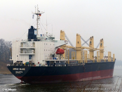
Vessel Milos IMO: 9138446, MMSI: 314429000 Bulk Carrier
UTC, 54.38460, 18.66118, course: 37, speed: 0
UTC, 54.38459, 18.66116, course: 37, speed: 0
2026-02-22 09:49:52 UTC, 54.38464, 18.66118, course: 37, speed: 0
Live AIS position:
UTC. Near Nowy Port/Gdansk),
updated 2026-02-22 09:49:52 UTC.
Find the position of the vessel Milos on the map. The latter are known coordinates and path.
marine traffic ship tracker show on live map
The current position of vessel Milos is 54.38464 lat / 18.66118 lng. Updated: 2026-02-22 09:49:52 UTCCurrently sailing under the flag of Barbados
Milos built in 1997 year
Deadweight:
24045 tDetails:
Last coordinates of the vessel:
UTC, 54.38457, 18.66119, course: 37, speed: 0UTC, 54.38460, 18.66118, course: 37, speed: 0
UTC, 54.38459, 18.66116, course: 37, speed: 0
2026-02-22 09:49:52 UTC, 54.38464, 18.66118, course: 37, speed: 0