 vesseltracker.com
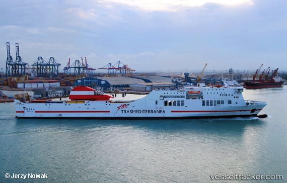
Vessel 'FORZA' IMO: 9142100, MMSI: 352097000
UTC, -8.04090, 157.60043, course: 132, speed: 0
UTC, -8.04085, 157.60048, course: 133, speed: 0
2026-02-11 03:45:40 UTC, -8.04087, 157.60048, course: 133, speed: 0
Live AIS position:
UTC. Near Lever Harbour),
updated 2026-02-11 03:45:40 UTC.
Find the position of the vessel 'FORZA' on the map. The latter are known coordinates and path.
marine traffic ship tracker show on live map
The current position of vessel 'FORZA' is -8.04087 lat / 157.60048 lng. Updated: 2026-02-11 03:45:40 UTCDetails:
Last coordinates of the vessel:
UTC, -8.04080, 157.60051, course: 134, speed: 0UTC, -8.04090, 157.60043, course: 132, speed: 0
UTC, -8.04085, 157.60048, course: 133, speed: 0
2026-02-11 03:45:40 UTC, -8.04087, 157.60048, course: 133, speed: 0