 vesseltracker.com
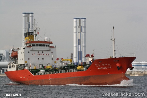
Vessel Noah Hana IMO: 9152569, MMSI: 440204000 Chemical Oil Products Tanker
UTC, 30.69602, -134.75951, course: 98, speed: 16.9
UTC, 30.63784, -134.44360, course: 100, speed: 17.2
2026-02-16 10:21:24 UTC, 30.46502, -133.54173, course: 100, speed: 16.1
Live AIS position:
UTC. Open sea, approx. 430 nm off the nearest listed port),
updated 2026-02-16 10:21:24 UTC.
Find the position of the vessel Noah Hana on the map. The latter are known coordinates and path.
marine traffic ship tracker show on live map
The current position of vessel Noah Hana is 30.46502 lat / -133.54173 lng. Updated: 2026-02-16 10:21:24 UTCDetails:
Last coordinates of the vessel:
UTC, 30.81186, -135.39426, course: 98, speed: 16.6UTC, 30.69602, -134.75951, course: 98, speed: 16.9
UTC, 30.63784, -134.44360, course: 100, speed: 17.2
2026-02-16 10:21:24 UTC, 30.46502, -133.54173, course: 100, speed: 16.1