 vesseltracker.com
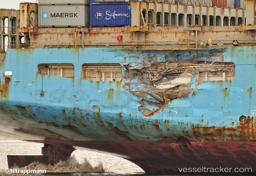
Vessel MAERSK KALMAR IMO: 9153862, MMSI: 636020350 Container Ship
UTC, 4.98167, 56.00333, course: -1, speed: 18
UTC, 5.53500, 56.27500, course: -1, speed: 18
2026-02-21 15:37:58 UTC, 6.15833, 56.58833, course: -1, speed: 18
Live AIS position:
UTC. Open sea, approx. 410 nm off the nearest listed port),
updated 2026-02-21 15:37:58 UTC.
Find the position of the vessel MAERSK KALMAR on the map. The latter are known coordinates and path.
marine traffic ship tracker show on live map
The current position of vessel MAERSK KALMAR is 6.15833 lat / 56.58833 lng. Updated: 2026-02-21 15:37:58 UTCCurrently sailing under the flag of Liberia
MAERSK KALMAR built in 1998 year
Deadweight:
94769 tDetails:
Last coordinates of the vessel:
UTC, 4.43167, 55.74167, course: -1, speed: 18UTC, 4.98167, 56.00333, course: -1, speed: 18
UTC, 5.53500, 56.27500, course: -1, speed: 18
2026-02-21 15:37:58 UTC, 6.15833, 56.58833, course: -1, speed: 18