 vesseltracker.com
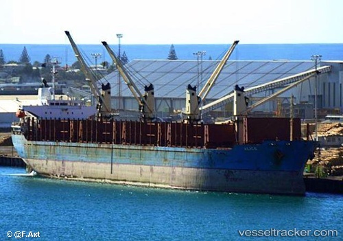
Vessel Tina IMO: 9157363, MMSI: 572939210 Bulk Carrier
UTC, 22.79459, 119.52181, course: 207, speed: 9.4
UTC, 22.76719, 119.50476, course: 207, speed: 9.6
2026-03-24 01:52:17 UTC, 22.76719, 119.50476, course: 207, speed: 9.6
Live Vessel Tina Analytics (details, animations, etc.)
Live AIS position: UTC. 38 nm W of ANPING), updated 2026-03-24 01:52:17 UTC.Find the position of the vessel Tina on the map. The latter are known coordinates and path.
marine traffic ship tracker show on live map
The current position of vessel Tina is 22.76719 lat / 119.50476 lng. Updated: 2026-03-24 01:52:17 UTCDetails:
Last coordinates of the vessel:
UTC, 23.06392, 119.67275, course: 204, speed: 10.1UTC, 22.79459, 119.52181, course: 207, speed: 9.4
UTC, 22.76719, 119.50476, course: 207, speed: 9.6
2026-03-24 01:52:17 UTC, 22.76719, 119.50476, course: 207, speed: 9.6