 vesseltracker.com
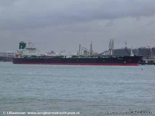
Stark I
Current StatusWhere is the vessel?
Stark I is currently in Near TANAH MERAH, based on AIS data received about 116d ago.
Latest AIS update:
Current position: 1.26601° N, 104.04887° E (Near TANAH MERAH)
Average speed (last 7 days): Loading…
Average speed (last 30 days): Loading…
Vessel profile: Stark I is a Crude Oil Tanker with dimensions 48m x 275m.
This page combines live AIS, route history, probable destination signals, nearby traffic, and port activity for practical vessel monitoring.
The current position of vessel Stark I is 1.26601 lat / 104.04887 lng. Updated: 2026-01-21 08:52:35 UTCNearest reference points:
- Near TANAH MERAH
- Near Changi
- Near BATU AMPAR
Details:
Live Vessel Stark I Analytics (details, animations, etc.)
Recent AIS points (UTC):
2026-01-21 08:52:35 UTC · 1.26601, 104.04887 · SOG 8.7 kn · COG 261°