 vesseltracker.com
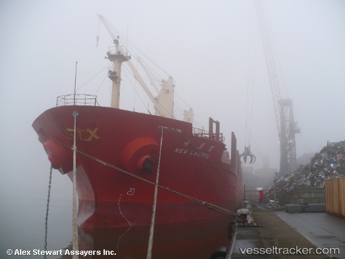
Vessel Tamrey S IMO: 9171541, MMSI: 271044600 Bulk Carrier
UTC, 36.76105, 36.12275, course: 215, speed: 0.5
UTC, 36.76123, 36.12213, course: 191, speed: 0.4
2026-02-14 23:29:25 UTC, 36.76126, 36.12234, course: 196, speed: 0.8
Live AIS position:
UTC. Near Isdemir),
updated 2026-02-14 23:29:25 UTC.
Find the position of the vessel Tamrey S on the map. The latter are known coordinates and path.
marine traffic ship tracker show on live map
The current position of vessel Tamrey S is 36.76126 lat / 36.12234 lng. Updated: 2026-02-14 23:29:25 UTCCurrently sailing under the flag of Turkey
Tamrey S built in 1999 year
Deadweight:
31024 tDetails:
Last coordinates of the vessel:
UTC, 36.76103, 36.12272, course: 225, speed: 0UTC, 36.76105, 36.12275, course: 215, speed: 0.5
UTC, 36.76123, 36.12213, course: 191, speed: 0.4
2026-02-14 23:29:25 UTC, 36.76126, 36.12234, course: 196, speed: 0.8