 vesseltracker.com
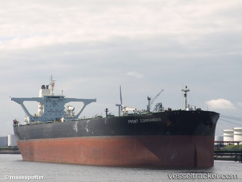
Vessel XI IMO: 9174397, MMSI: 649114000 Crude Oil Tanker
UTC, 7.64533, 76.36042, course: -1, speed: 15
UTC, 7.90325, 75.87513, course: -1, speed: 15
2026-03-24 19:47:32 UTC, 8.08337, 75.53604, course: 298, speed: 15
Live Vessel XI Analytics (details, animations, etc.)
Live AIS position: UTC. 78 nm SW of Nindakara), updated 2026-03-24 19:47:32 UTC.Find the position of the vessel XI on the map. The latter are known coordinates and path.
marine traffic ship tracker show on live map
The current position of vessel XI is 8.08337 lat / 75.53604 lng. Updated: 2026-03-24 19:47:32 UTCCurrently sailing under the flag of Mali
Details:
Last coordinates of the vessel:
UTC, 7.39692, 76.82758, course: 298, speed: 15UTC, 7.64533, 76.36042, course: -1, speed: 15
UTC, 7.90325, 75.87513, course: -1, speed: 15
2026-03-24 19:47:32 UTC, 8.08337, 75.53604, course: 298, speed: 15