 vesseltracker.com
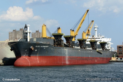
Vessel Algoma Verity IMO: 9183776, MMSI: 311000905 Self Discharging Bulk Carrier
UTC, 40.14101, -74.75653, course: 161, speed: 0
UTC, 40.14099, -74.75654, course: 161, speed: 0
2026-03-25 01:46:35 UTC, 40.14102, -74.75653, course: 161, speed: 0
Live Vessel Algoma Verity Analytics (details, animations, etc.)
Live AIS position: UTC. Near Trenton), updated 2026-03-25 01:46:35 UTC.Find the position of the vessel Algoma Verity on the map. The latter are known coordinates and path.
marine traffic ship tracker show on live map
The current position of vessel Algoma Verity is 40.14102 lat / -74.75653 lng. Updated: 2026-03-25 01:46:35 UTCCurrently sailing under the flag of Bahamas
Algoma Verity built in 2000 year
Deadweight:
48000 tDetails:
Last coordinates of the vessel:
UTC, 40.14101, -74.75653, course: 161, speed: 0UTC, 40.14101, -74.75653, course: 161, speed: 0
UTC, 40.14099, -74.75654, course: 161, speed: 0
2026-03-25 01:46:35 UTC, 40.14102, -74.75653, course: 161, speed: 0