 vesseltracker.com
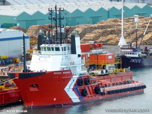
Vessel KAMUI IMO: 9190925, MMSI: 431017558 Tug
Live AIS position:
UTC. Near CHIBA),
updated 2023-11-30 03:45:03 UTC.
Find the position of the vessel KAMUI on the map. The latter are known coordinates and path.
marine traffic ship tracker show on live map
The current position of vessel KAMUI is 35.59401 lat / 140.09898 lng. Updated: 2023-11-30 03:45:03 UTCCurrently sailing under the flag of Japan
KAMUI built in 1999 year
Deadweight:
1308 tDetails:
Last coordinates of the vessel:
2023-11-30 03:45:03 UTC, 35.59401, 140.09898, course: -1, speed: 0