 vesseltracker.com
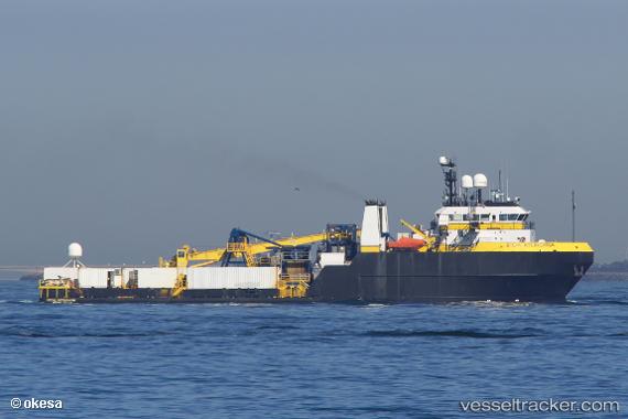
Vessel Ocean Intervention IMO: 9203227, MMSI: 366614000 Offshore Tug Supply Ship
UTC, 13.56013, 144.63060, course: 355, speed: 7.1
UTC, 13.63453, 144.62350, course: 355, speed: 6.9
2026-03-19 01:43:09 UTC, 13.63453, 144.62350, course: 355, speed: 6.9
Live Vessel Ocean Intervention Analytics (details, animations, etc.)
Live AIS position: UTC. 11 nm N of Apra), updated 2026-03-19 01:43:09 UTC.Find the position of the vessel Ocean Intervention on the map. The latter are known coordinates and path.
marine traffic ship tracker show on live map
The current position of vessel Ocean Intervention is 13.63453 lat / 144.62350 lng. Updated: 2026-03-19 01:43:09 UTCDetails:
Last coordinates of the vessel:
UTC, 13.43234, 144.66261, course: 55, speed: 2.3UTC, 13.56013, 144.63060, course: 355, speed: 7.1
UTC, 13.63453, 144.62350, course: 355, speed: 6.9
2026-03-19 01:43:09 UTC, 13.63453, 144.62350, course: 355, speed: 6.9