 vesseltracker.com
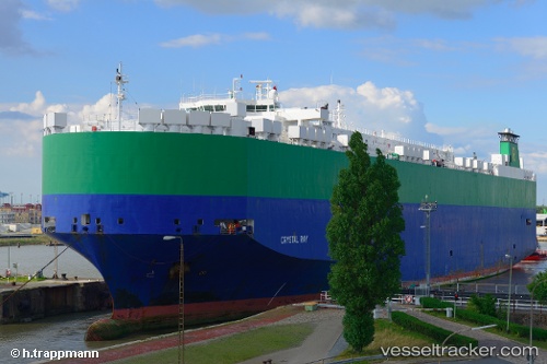
Vessel Crystal Ray IMO: 9210440, MMSI: 311039000 Vehicles Carrier
UTC, 35.52272, 129.39056, course: 331, speed: 0
UTC, 35.52167, 129.39000, course: -1, speed: 0
2026-02-13 23:40:41 UTC, 35.52269, 129.39056, course: 331, speed: 0
Live AIS position:
UTC. Near Mipo/Ulsan),
updated 2026-02-13 23:40:41 UTC.
Find the position of the vessel Crystal Ray on the map. The latter are known coordinates and path.
marine traffic ship tracker show on live map
The current position of vessel Crystal Ray is 35.52269 lat / 129.39056 lng. Updated: 2026-02-13 23:40:41 UTCDetails:
Last coordinates of the vessel:
UTC, 35.52167, 129.39000, course: -1, speed: 0UTC, 35.52272, 129.39056, course: 331, speed: 0
UTC, 35.52167, 129.39000, course: -1, speed: 0
2026-02-13 23:40:41 UTC, 35.52269, 129.39056, course: 331, speed: 0