 vesseltracker.com
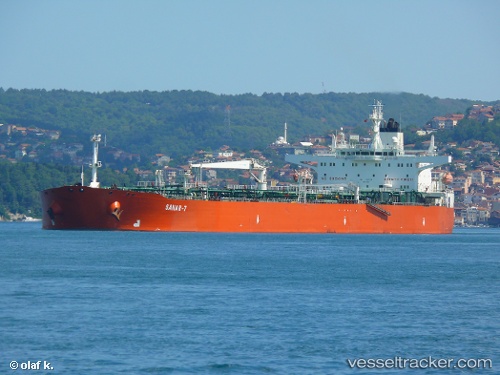
Vessel SANAR 7 IMO: 9211999, MMSI: 273615700 Crude Oil Tanker
Live AIS position:
UTC. Near Kerch),
updated 2026-02-01 18:57:30 UTC.
Find the position of the vessel SANAR 7 on the map. The latter are known coordinates and path.
marine traffic ship tracker show on live map
The current position of vessel SANAR 7 is 45.31039 lat / 36.50630 lng. Updated: 2026-02-01 18:57:30 UTCCurrently sailing under the flag of Russia
SANAR 7 built in 2000 year
Deadweight:
113424 tDetails:
Last coordinates of the vessel:
2026-02-01 18:57:30 UTC, 45.31039, 36.50630, course: 66, speed: 40.4