 vesseltracker.com
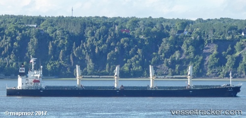
Vessel LUMOSO ALAM IMO: 9216688, MMSI: 525113020 Bulk Carrier
UTC, -3.69198, 114.42113, course: 73, speed: 0
UTC, -3.69168, 114.42103, course: 85, speed: 0
2026-02-19 21:20:29 UTC, -3.69185, 114.42103, course: 77, speed: 0
Live AIS position:
UTC. Near Taboneo),
updated 2026-02-19 21:20:29 UTC.
Find the position of the vessel LUMOSO ALAM on the map. The latter are known coordinates and path.
marine traffic ship tracker show on live map
The current position of vessel LUMOSO ALAM is -3.69185 lat / 114.42103 lng. Updated: 2026-02-19 21:20:29 UTCCurrently sailing under the flag of Indonesia
LUMOSO ALAM built in 2001 year
Deadweight:
51008 tDetails:
Last coordinates of the vessel:
UTC, -3.69282, 114.42242, course: 10, speed: 0.1UTC, -3.69198, 114.42113, course: 73, speed: 0
UTC, -3.69168, 114.42103, course: 85, speed: 0
2026-02-19 21:20:29 UTC, -3.69185, 114.42103, course: 77, speed: 0