 vesseltracker.com
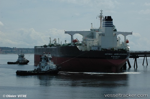
Vessel LILU IMO: 9216717, MMSI: 613001301 Crude Oil Tanker
UTC, 1.86535, 104.68425, course: -1, speed: 0.4
2026-02-26 07:49:12 UTC, 1.86535, 104.68425, course: -1, speed: 0.4
Live AIS position:
UTC. 45 nm NE of PENGERANG),
updated 2026-02-26 07:49:12 UTC.
Find the position of the vessel LILU on the map. The latter are known coordinates and path.
marine traffic ship tracker show on live map
The current position of vessel LILU is 1.86535 lat / 104.68425 lng. Updated: 2026-02-26 07:49:12 UTCCurrently sailing under the flag of Cameroon
LILU built in 2000 year
Deadweight:
306085 tDetails:
Last coordinates of the vessel:
UTC, 1.86535, 104.68425, course: -1, speed: 0.4UTC, 1.86535, 104.68425, course: -1, speed: 0.4
2026-02-26 07:49:12 UTC, 1.86535, 104.68425, course: -1, speed: 0.4