 vesseltracker.com
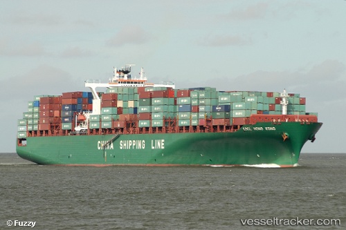
Vessel TONSBERG IMO: 9216999, MMSI: 636020348 Container Ship
UTC, 17.22333, 111.32833, course: -1, speed: 12
UTC, 16.89667, 111.17167, course: -1, speed: 13
2026-02-25 02:04:32 UTC, 16.24333, 111.00333, course: -1, speed: 11
Live AIS position:
UTC. 135 nm NE of Dung Quat Petroleum Port),
updated 2026-02-25 02:04:32 UTC.
Find the position of the vessel TONSBERG on the map. The latter are known coordinates and path.
marine traffic ship tracker show on live map
The current position of vessel TONSBERG is 16.24333 lat / 111.00333 lng. Updated: 2026-02-25 02:04:32 UTCCurrently sailing under the flag of Liberia
TONSBERG built in 2001 year
Deadweight:
68142 tDetails:
Last coordinates of the vessel:
UTC, 17.37167, 111.51167, course: -1, speed: 12UTC, 17.22333, 111.32833, course: -1, speed: 12
UTC, 16.89667, 111.17167, course: -1, speed: 13
2026-02-25 02:04:32 UTC, 16.24333, 111.00333, course: -1, speed: 11