 vesseltracker.com
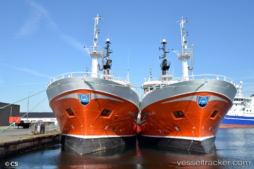
Torland
Current StatusWhere is the vessel?
Torland is currently in 32 nm E of Iturup, based on AIS data received about 2h ago.
Latest AIS update:
Current position: 45.19502° N, 148.77454° E (32 nm E of Iturup)
Average speed (last 7 days): Loading…
Average speed (last 30 days): Loading…
Vessel profile: Torland is a Fishing Vessel with dimensions 12m x 44m.
This page combines live AIS, route history, probable destination signals, nearby traffic, and port activity for practical vessel monitoring.
The current position of vessel Torland is 45.19502 lat / 148.77454 lng. Updated: 2026-03-25 06:05:49 UTCDetails:
Live Vessel Torland Analytics (details, animations, etc.)
Recent AIS points (UTC):
2026-03-24 23:15:36 UTC · 45.04223, 148.36432 · SOG 3.1 kn · COG 264°2026-03-25 01:26:34 UTC · 45.02692, 148.32765 · SOG 1.7 kn · COG 153°
2026-03-25 04:04:49 UTC · 45.14727, 148.66119 · SOG 6.4 kn · COG 62°
2026-03-25 06:05:49 UTC · 45.19502, 148.77454 · SOG 9.4 kn · COG 211°