 vesseltracker.com
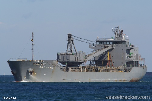
Vessel Shoei Maru No.58 IMO: 9221736, MMSI: 431501632 General Cargo Ship
UTC, 37.40236, 138.13429, course: 35, speed: 13.1
UTC, 37.76333, 138.45833, course: -1, speed: 12
2026-02-17 12:07:18 UTC, 38.09872, 138.72189, course: 32, speed: 12.6
Live AIS position:
UTC. 15 nm E of Sado Shima Apt),
updated 2026-02-17 12:07:18 UTC.
Find the position of the vessel Shoei Maru No.58 on the map. The latter are known coordinates and path.
marine traffic ship tracker show on live map
The current position of vessel Shoei Maru No.58 is 38.09872 lat / 138.72189 lng. Updated: 2026-02-17 12:07:18 UTCDetails:
Last coordinates of the vessel:
UTC, 37.04087, 137.83603, course: 39, speed: 0UTC, 37.40236, 138.13429, course: 35, speed: 13.1
UTC, 37.76333, 138.45833, course: -1, speed: 12
2026-02-17 12:07:18 UTC, 38.09872, 138.72189, course: 32, speed: 12.6