 vesseltracker.com
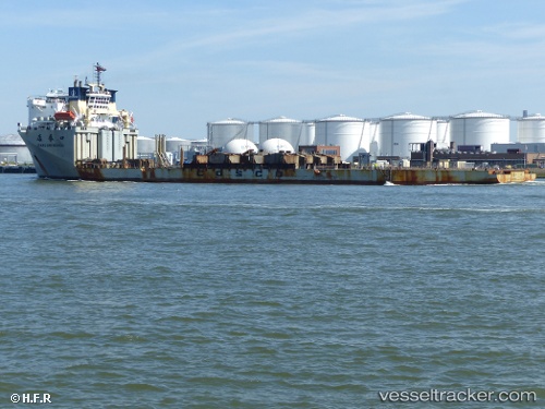
Vessel Kang Sheng Kou IMO: 9223289, MMSI: 412055000 Heavy Load Carrier
UTC, 21.26039, -147.09731, course: 359, speed: 6.8
UTC, 21.41333, -147.10167, course: -1, speed: 7
2026-02-16 11:26:00 UTC, 21.61504, -147.10582, course: 7, speed: 7.3
Live AIS position:
UTC. Open sea, approx. 519 nm off the nearest listed port),
updated 2026-02-16 11:26:00 UTC.
Find the position of the vessel Kang Sheng Kou on the map. The latter are known coordinates and path.
marine traffic ship tracker show on live map
The current position of vessel Kang Sheng Kou is 21.61504 lat / -147.10582 lng. Updated: 2026-02-16 11:26:00 UTCCurrently sailing under the flag of China
Kang Sheng Kou built in 2003 year
Deadweight:
17860 tDetails:
Last coordinates of the vessel:
UTC, 20.95333, -147.04333, course: -1, speed: 5UTC, 21.26039, -147.09731, course: 359, speed: 6.8
UTC, 21.41333, -147.10167, course: -1, speed: 7
2026-02-16 11:26:00 UTC, 21.61504, -147.10582, course: 7, speed: 7.3