 vesseltracker.com
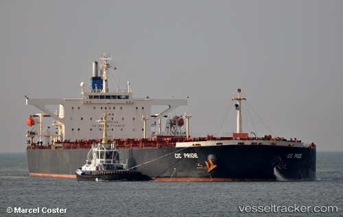
 RIDE I
Current Status
Where is the vessel?
RIDE I is currently in 74 nm S of Ambovombe, based on AIS data received less than 1h ago.
Latest AIS update:
Current position: 26.38867° S, 46.18967° E (74 nm S of Ambovombe)
Average speed (last 7 days): Loading…
Average speed (last 30 days): Loading…
Vessel profile: RIDE I is a Bulk Carrier with dimensions 45m x 289m.
This page combines live AIS, route history, probable destination signals, nearby traffic, and port activity for practical vessel monitoring.
The current position of vessel RIDE I is -26.38867 lat / 46.18967 lng. Updated: 2026-04-23 05:29:40 UTCNearest reference points:
- 106 nm S of Tsiombe
- 70 nm SW of Tsiombe
- 174 nm S of Ambovombe
Currently sailing under the flag of Liberia ![]()
RIDE I built in 2002 year
Deadweight:
171381 tDetails:
Live Vessel RIDE I Analytics (details, animations, etc.)
Recent AIS points (UTC):
2026-04-23 01:24:14 UTC · -26.65217, 45.52967 · SOG 10.1 kn · COG 60°2026-04-23 04:19:30 UTC · -26.46233, 45.99900 · SOG 9.4 kn · COG 62°
2026-04-23 04:58:38 UTC · -26.42221, 46.10697 · SOG 9.5 kn · COG 62°
2026-04-23 05:29:40 UTC · -26.38867, 46.18967 · SOG 9.3 kn · COG 60°