 vesseltracker.com
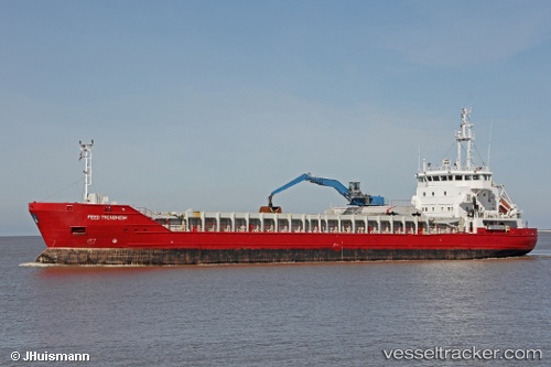
Vessel Feed Trondheim IMO: 9226798, MMSI: 305371000 Multi Purpose Carrier
UTC, 62.67966, 6.98050, course: 293, speed: 10.6
UTC, 62.59117, 6.25350, course: 227, speed: 8.4
2026-02-15 18:17:05 UTC, 62.36767, 6.10617, course: 147, speed: 10
Live AIS position:
UTC. Near HJORUNGAVAG),
updated 2026-02-15 18:17:05 UTC.
Find the position of the vessel Feed Trondheim on the map. The latter are known coordinates and path.
marine traffic ship tracker show on live map
The current position of vessel Feed Trondheim is 62.36767 lat / 6.10617 lng. Updated: 2026-02-15 18:17:05 UTCCurrently sailing under the flag of Antigua Barbuda
Feed Trondheim built in 2002 year
Deadweight:
4633 tDetails:
Last coordinates of the vessel:
UTC, 62.57783, 7.12083, course: 155, speed: 0UTC, 62.67966, 6.98050, course: 293, speed: 10.6
UTC, 62.59117, 6.25350, course: 227, speed: 8.4
2026-02-15 18:17:05 UTC, 62.36767, 6.10617, course: 147, speed: 10