 vesseltracker.com
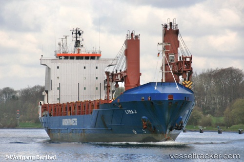
Vessel Bbc Cape IMO: 9228617, MMSI: 304251000 Multi Purpose Carrier
UTC, 31.19061, 29.87188, course: 220, speed: 0
UTC, 31.19062, 29.87187, course: 220, speed: 0
2026-03-24 23:29:02 UTC, 31.19062, 29.87188, course: 220, speed: 0
Live Vessel Bbc Cape Analytics (details, animations, etc.)
Live AIS position: UTC. Near Alexandria), updated 2026-03-24 23:29:02 UTC.Find the position of the vessel Bbc Cape on the map. The latter are known coordinates and path.
marine traffic ship tracker show on live map
The current position of vessel Bbc Cape is 31.19062 lat / 29.87188 lng. Updated: 2026-03-24 23:29:02 UTCCurrently sailing under the flag of Antigua Barbuda
Bbc Cape built in 2001 year
Deadweight:
7481 tDetails:
Last coordinates of the vessel:
UTC, 31.19062, 29.87188, course: 220, speed: 0UTC, 31.19061, 29.87188, course: 220, speed: 0
UTC, 31.19062, 29.87187, course: 220, speed: 0
2026-03-24 23:29:02 UTC, 31.19062, 29.87188, course: 220, speed: 0