 vesseltracker.com
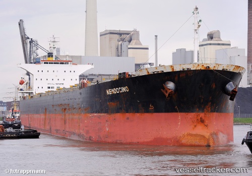
Vessel Tian Yi 88 IMO: 9231298, MMSI: 414439000 Bulk Carrier
UTC, 1.36901, 119.22694, course: -1, speed: 10.5
UTC, 1.58722, 119.25152, course: 4, speed: 9.7
2026-02-28 10:15:37 UTC, 1.58722, 119.25152, course: 4, speed: 9.7
Live AIS position:
UTC. 71 nm E of Muara Pantai),
updated 2026-02-28 10:15:37 UTC.
Find the position of the vessel Tian Yi 88 on the map. The latter are known coordinates and path.
marine traffic ship tracker show on live map
The current position of vessel Tian Yi 88 is 1.58722 lat / 119.25152 lng. Updated: 2026-02-28 10:15:37 UTCCurrently sailing under the flag of China
Tian Yi 88 built in 2002 year
Deadweight:
76623 tDetails:
Last coordinates of the vessel:
UTC, 1.20630, 119.20692, course: -1, speed: 11.1UTC, 1.36901, 119.22694, course: -1, speed: 10.5
UTC, 1.58722, 119.25152, course: 4, speed: 9.7
2026-02-28 10:15:37 UTC, 1.58722, 119.25152, course: 4, speed: 9.7