 vesseltracker.com
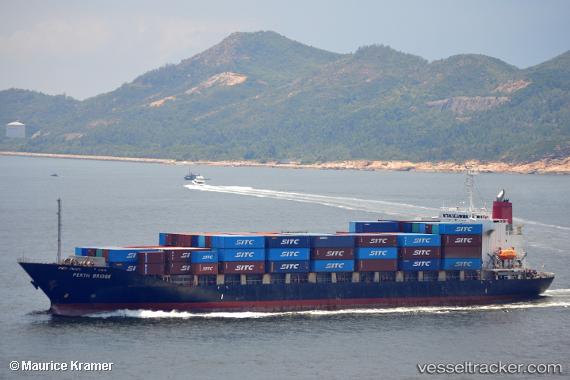
Vessel Harbour Neptune IMO: 9236341, MMSI: 533170578 Container Ship
UTC, 3.26383, 113.07275, course: 90, speed: 0
UTC, 3.26401, 113.07268, course: 90, speed: 0
2026-02-11 13:20:19 UTC, 3.26389, 113.07271, course: 90, speed: 0
Live AIS position:
UTC. Near BINTULU),
updated 2026-02-11 13:20:19 UTC.
Find the position of the vessel Harbour Neptune on the map. The latter are known coordinates and path.
marine traffic ship tracker show on live map
The current position of vessel Harbour Neptune is 3.26389 lat / 113.07271 lng. Updated: 2026-02-11 13:20:19 UTCCurrently sailing under the flag of Malaysia
Harbour Neptune built in 2000 year
Deadweight:
17946 tDetails:
Last coordinates of the vessel:
UTC, 3.26379, 113.07268, course: 90, speed: 0UTC, 3.26383, 113.07275, course: 90, speed: 0
UTC, 3.26401, 113.07268, course: 90, speed: 0
2026-02-11 13:20:19 UTC, 3.26389, 113.07271, course: 90, speed: 0