 LIN HAI 6
Current Status
Where is the vessel?
LIN HAI 6 is currently in 191 nm SE of Richards Bay, based on AIS data received about 14h ago.
Latest AIS update:
Current position: 31.27176° S, 34.51042° E (191 nm SE of Richards Bay)
Average speed (last 7 days): Loading…
Average speed (last 30 days): Loading…
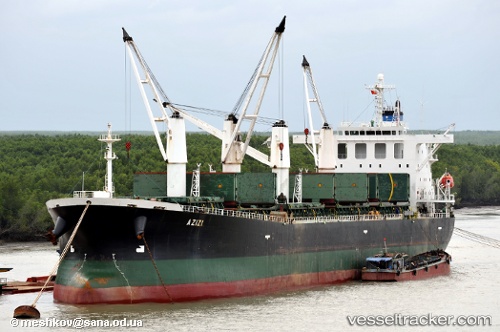
Vessel profile: LIN HAI 6 is a Bulk Carrier with dimensions 32m x 190m.
This page combines live AIS, route history, probable destination signals, nearby traffic, and port activity for practical vessel monitoring.
The current position of vessel LIN HAI 6 is -31.27176 lat / 34.51042 lng. Updated: 2026-05-23 11:39:51 UTCNearest reference points:
- 181 nm SE of Hibberdene
- 163 nm SE of Richards Bay
- 125 nm SE of Port Edward
Currently sailing under the flag of Panama ![]()
LIN HAI 6 built in 2001 year
Deadweight:
52544 tDetails:
Live Vessel LIN HAI 6 Analytics (details, animations, etc.)
Recent AIS points (UTC):
2026-05-23 07:34:12 UTC · -31.57705, 33.72525 · SOG 10.9 kn · COG 71°2026-05-23 09:32:34 UTC · -31.43219, 34.10809 · SOG 11 kn · COG 70°
2026-05-23 10:10:53 UTC · -31.38372, 34.22924 · SOG 10.6 kn · COG 71°
2026-05-23 11:39:51 UTC · -31.27176, 34.51042 · SOG 11.1 kn · COG 74°