 vesseltracker.com
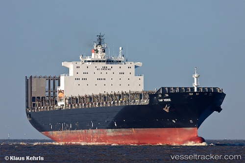
Vessel Msc Margarita IMO: 9238741, MMSI: 636016429 Container Ship
UTC, -0.77944, 86.37093, course: 229, speed: 17.9
UTC, -1.23756, 85.80722, course: 231, speed: 17.7
2026-03-24 21:20:44 UTC, -1.44241, 85.52982, course: 228, speed: 17.8
Live Vessel Msc Margarita Analytics (details, animations, etc.)
Live AIS position: UTC. Open sea (no nearby ports in database)), updated 2026-03-24 21:20:44 UTC.Find the position of the vessel Msc Margarita on the map. The latter are known coordinates and path.
marine traffic ship tracker show on live map
The current position of vessel Msc Margarita is -1.44241 lat / 85.52982 lng. Updated: 2026-03-24 21:20:44 UTCCurrently sailing under the flag of Liberia
Msc Margarita built in 2002 year
Deadweight:
67644 tDetails:
Last coordinates of the vessel:
UTC, -0.37563, 86.87695, course: 230, speed: 17.9UTC, -0.77944, 86.37093, course: 229, speed: 17.9
UTC, -1.23756, 85.80722, course: 231, speed: 17.7
2026-03-24 21:20:44 UTC, -1.44241, 85.52982, course: 228, speed: 17.8