 vesseltracker.com
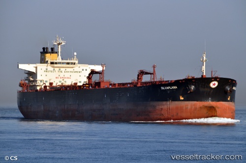
Vessel ENCELIA IMO: 9240172, MMSI: 403287000 Oil Products Tanker
UTC, 25.46609, 56.71827, course: 2, speed: 12.2
UTC, 25.70524, 56.73141, course: 346, speed: 12.1
2026-02-09 16:26:15 UTC, 26.33369, 56.71692, course: 359, speed: 12.4
Live AIS position:
UTC. 18 nm SE of Quoin Island),
updated 2026-02-09 16:26:15 UTC.
Find the position of the vessel ENCELIA on the map. The latter are known coordinates and path.
marine traffic ship tracker show on live map
The current position of vessel ENCELIA is 26.33369 lat / 56.71692 lng. Updated: 2026-02-09 16:26:15 UTCCurrently sailing under the flag of Saudi Arabia
ENCELIA built in 2003 year
Deadweight:
109250 tDetails:
Last coordinates of the vessel:
UTC, 25.21170, 56.63748, course: 49, speed: 9.4UTC, 25.46609, 56.71827, course: 2, speed: 12.2
UTC, 25.70524, 56.73141, course: 346, speed: 12.1
2026-02-09 16:26:15 UTC, 26.33369, 56.71692, course: 359, speed: 12.4