 vesseltracker.com
 CHAPEL
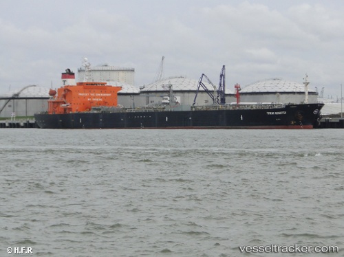
Current Status
Where is the vessel?
CHAPEL is currently in 24 nm SW of Port Harcourt, based on AIS data received about 7h ago.
Latest AIS update:
Current position: 4.51253° N, 6.68954° E (24 nm SW of Port Harcourt)
Average speed (last 7 days): Loading…
Average speed (last 30 days): Loading…
Vessel profile: CHAPEL is a Crude Oil Tanker with dimensions 183m x 32m.
This page combines live AIS, route history, probable destination signals, nearby traffic, and port activity for practical vessel monitoring.
The current position of vessel CHAPEL is 4.51253 lat / 6.68954 lng. Updated: 2026-03-25 02:14:56 UTCNearest reference points:
- 21 nm SW of Bonny
- Near Port Harcourt
- Near Bonny
Currently sailing under the flag of Nigeria ![]()
CHAPEL built in 2003 year
Deadweight:
47015 tDetails:
Live Vessel CHAPEL Analytics (details, animations, etc.)
Recent AIS points (UTC):
2026-03-24 02:38:56 UTC · 4.51253, 6.68952 · SOG 0 kn · COG 179°2026-03-25 02:14:56 UTC · 4.51253, 6.68954 · SOG 0 kn · COG 177°
2026-03-25 02:14:56 UTC · 4.51253, 6.68954 · SOG 0 kn · COG 177°
2026-03-25 02:14:56 UTC · 4.51253, 6.68954 · SOG 0 kn · COG 177°