 vesseltracker.com
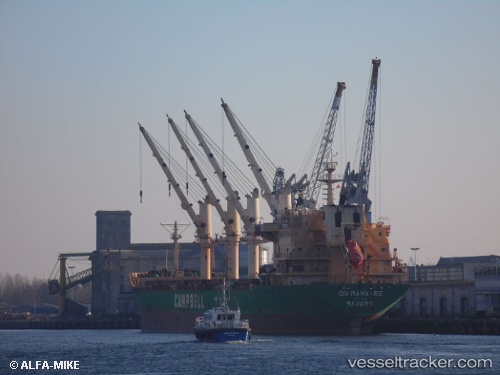
 Ds Manatee
Current Status
Where is the vessel?
Ds Manatee is currently in 280 nm E of Arembepe, based on AIS data received about 3h ago.
Latest AIS update:
Current position: 14.43399° S, 33.69352° W (280 nm E of Arembepe)
Average speed (last 7 days): Loading…
Average speed (last 30 days): Loading…
Vessel profile: Ds Manatee is a Bulk Carrier with dimensions 178m x 26m.
This page combines live AIS, route history, probable destination signals, nearby traffic, and port activity for practical vessel monitoring.
The current position of vessel Ds Manatee is -14.43399 lat / -33.69352 lng. Updated: 2026-03-26 01:33:31 UTCNearest reference points:
- Open sea, approx. 403 nm off the nearest listed port
- Open sea, approx. 419 nm off the nearest listed port
- Open sea, approx. 401 nm off the nearest listed port
Currently sailing under the flag of Marshall Is ![]()
Ds Manatee built in 2002 year
Deadweight:
27128 tDetails:
Live Vessel Ds Manatee Analytics (details, animations, etc.)
Recent AIS points (UTC):
2026-03-25 20:11:22 UTC · -15.30495, -34.17978 · SOG 11.4 kn · COG 30°2026-03-25 21:29:21 UTC · -15.08535, -34.05984 · SOG 11.1 kn · COG 34°
2026-03-25 23:50:18 UTC · -14.71055, -33.84843 · SOG 10.8 kn · COG 34°
2026-03-26 01:33:31 UTC · -14.43399, -33.69352 · SOG 11.1 kn · COG 33°