 vesseltracker.com
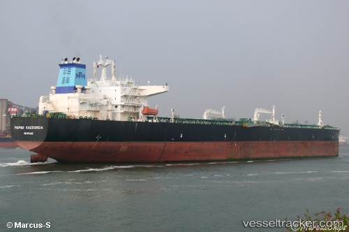
Vessel MIN HANG IMO: 9257137, MMSI: 518999094 Crude Oil Tanker
Live AIS position:
UTC. 35 nm SE of St. Georges),
updated 2025-07-08 05:43:26 UTC.
Find the position of the vessel MIN HANG on the map. The latter are known coordinates and path.
marine traffic ship tracker show on live map
The current position of vessel MIN HANG is 11.60537 lat / -61.35503 lng. Updated: 2025-07-08 05:43:26 UTCCurrently sailing under the flag of Cook Is
MIN HANG built in 2003 year
Deadweight:
158553 tDetails:
Last coordinates of the vessel:
2025-07-08 05:43:26 UTC, 11.60537, -61.35503, course: 269, speed: 12.6