 vesseltracker.com
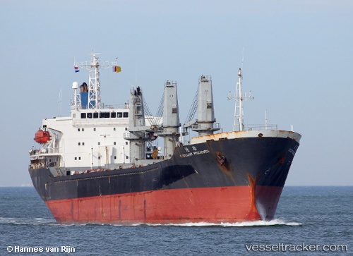
Vessel MAXIMUS I IMO: 9260653, MMSI: 525119187 Bulk Carrier
UTC, -3.17217, 116.57816, course: 6, speed: 9.1
UTC, -3.17217, 116.57816, course: 6, speed: 9.1
2026-03-23 13:02:22 UTC, -3.17217, 116.57816, course: 6, speed: 9.1
Live Vessel MAXIMUS I Analytics (details, animations, etc.)
Live AIS position: UTC. 18 nm E of TANJUNG PEMANCINGAN), updated 2026-03-23 13:02:22 UTC.Find the position of the vessel MAXIMUS I on the map. The latter are known coordinates and path.
marine traffic ship tracker show on live map
The current position of vessel MAXIMUS I is -3.17217 lat / 116.57816 lng. Updated: 2026-03-23 13:02:22 UTCCurrently sailing under the flag of Indonesia
MAXIMUS I built in 2002 year
Deadweight:
18200 tDetails:
Last coordinates of the vessel:
UTC, -3.35055, 116.53999, course: 8, speed: 9UTC, -3.17217, 116.57816, course: 6, speed: 9.1
UTC, -3.17217, 116.57816, course: 6, speed: 9.1
2026-03-23 13:02:22 UTC, -3.17217, 116.57816, course: 6, speed: 9.1