 vesseltracker.com
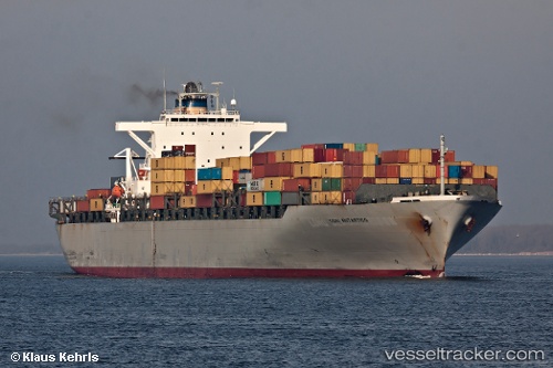
Vessel Ikaria IMO: 9261449, MMSI: 636014573 Container Ship
UTC, 30.97648, -14.97411, course: 178, speed: 16.9
UTC, 30.51057, -14.96194, course: 178, speed: 16.9
2026-02-10 02:00:34 UTC, 29.89314, -14.94436, course: 180, speed: 17
Live AIS position:
UTC. 73 nm NE of Bañaderos),
updated 2026-02-10 02:00:34 UTC.
Find the position of the vessel Ikaria on the map. The latter are known coordinates and path.
marine traffic ship tracker show on live map
The current position of vessel Ikaria is 29.89314 lat / -14.94436 lng. Updated: 2026-02-10 02:00:34 UTCDetails:
Last coordinates of the vessel:
UTC, 31.74868, -14.99151, course: 180, speed: 17.3UTC, 30.97648, -14.97411, course: 178, speed: 16.9
UTC, 30.51057, -14.96194, course: 178, speed: 16.9
2026-02-10 02:00:34 UTC, 29.89314, -14.94436, course: 180, speed: 17