 vesseltracker.com
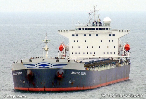
Vessel ERICA IMO: 9261798, MMSI: 352960000 Bulk Carrier
2026-03-25 01:57:58 UTC, 21.78667, 61.70833, course: -1, speed: 10
2026-03-25 03:46:07 UTC, 21.57333, 61.95167, course: -1, speed: 10
2026-03-25 05:46:01 UTC, 21.33833, 62.23833, course: -1, speed: 10
Live Vessel ERICA Analytics (details, animations, etc.)
Live AIS position: UTC. 168 nm SE of SUR), updated 2026-03-25 05:46:01 UTC.Find the position of the vessel ERICA on the map. The latter are known coordinates and path.
marine traffic ship tracker show on live map
The current position of vessel ERICA is 21.33833 lat / 62.23833 lng. Updated: 2026-03-25 05:46:01 UTCNearest reference points:
- 120 nm E of SUR
- 224 nm E of SUR
- 171 nm E of SUR
Currently sailing under the flag of Panama
ERICA built in 2002 year
Deadweight:
75007 tDetails:
Last coordinates of the vessel:
2026-03-24 23:33:59 UTC, 22.06500, 61.38167, course: -1, speed: 102026-03-25 01:57:58 UTC, 21.78667, 61.70833, course: -1, speed: 10
2026-03-25 03:46:07 UTC, 21.57333, 61.95167, course: -1, speed: 10
2026-03-25 05:46:01 UTC, 21.33833, 62.23833, course: -1, speed: 10