 vesseltracker.com
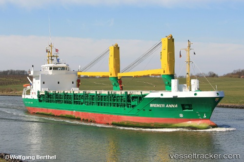
Vessel Millerntor IMO: 9265665, MMSI: 218805000 Multi Purpose Carrier
UTC, 57.8383, 21.3944, course: 104, speed: 11.4
UTC, 57.6787, 22.0021, course: 69, speed: 11.3
2026-03-24 09:41:00 UTC, 57.808, 22.556, course: 77, speed: 11.4
Live Vessel Millerntor Analytics (details, animations, etc.)
Live AIS position: UTC. 15 nm SE of Kaavi Paadisadam), updated 2026-03-24 09:41:00 UTC.Find the position of the vessel Millerntor on the map. The latter are known coordinates and path.
marine traffic ship tracker show on live map
The current position of vessel Millerntor is 57.808 lat / 22.556 lng. Updated: 2026-03-24 09:41:00 UTCCurrently sailing under the flag of Germany
Millerntor built in 2003 year
Deadweight:
4352 tDetails:
Last coordinates of the vessel:
UTC, 57.9081, 20.7951, course: 116, speed: 11.4UTC, 57.8383, 21.3944, course: 104, speed: 11.4
UTC, 57.6787, 22.0021, course: 69, speed: 11.3
2026-03-24 09:41:00 UTC, 57.808, 22.556, course: 77, speed: 11.4