 vesseltracker.com
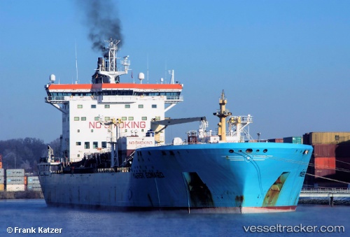
 TONDA
TONDA
Current Status
Where is the vessel?
TONDA is currently in 52 nm NE of Marsa Alam, based on AIS data received about 1h ago.
Latest AIS update:
Current position: 25.92936° N, 35.42509° E (52 nm NE of Marsa Alam)
Average speed (last 7 days): Loading…
Average speed (last 30 days): Loading…
Vessel profile: TONDA is a Chemical/Oil Products Tanker with dimensions 186m x 186m.
This page combines live AIS, route history, probable destination signals, nearby traffic, and port activity for practical vessel monitoring.
The current position of vessel TONDA is 25.92936 lat / 35.42509 lng. Updated: 2026-03-25 12:16:06 UTCNearest reference points:
- 41 nm NW of Umm Lajj
- Near DUBA
- Near Bur Safaga
Currently sailing under the flag of Marshall Islands ![]()
TONDA built in 2005 year
Deadweight:
36803 tDetails:
Live Vessel TONDA Analytics (details, animations, etc.)
Recent AIS points (UTC):
2026-03-25 06:03:17 UTC · 26.97992, 34.52940 · SOG 12.9 kn · COG 140°2026-03-25 07:56:00 UTC · 26.66846, 34.80949 · SOG 12.8 kn · COG 143°
2026-03-25 09:52:41 UTC · 26.33579, 35.08853 · SOG 12.8 kn · COG -1°
2026-03-25 12:16:06 UTC · 25.92936, 35.42509 · SOG 11.9 kn · COG 148°