 vesseltracker.com
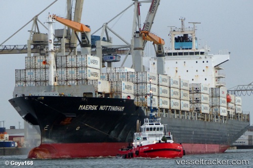
Vessel CMA CGM PUERTO ANTIOQUIA IMO: 9275050, MMSI: 311001218 Container Ship
UTC, 15.32749, 66.98928, course: 263, speed: 0.2
UTC, 15.32387, 66.98595, course: -1, speed: 0
2026-03-24 21:31:25 UTC, 15.32123, 66.98415, course: 269, speed: 0.1
Live Vessel CMA CGM PUERTO ANTIOQUIA Analytics (details, animations, etc.)
Live AIS position: UTC. 334 nm N of Tinaquillo), updated 2026-03-24 21:31:25 UTC.Find the position of the vessel CMA CGM PUERTO ANTIOQUIA on the map. The latter are known coordinates and path.
marine traffic ship tracker show on live map
The current position of vessel CMA CGM PUERTO ANTIOQUIA is 15.32123 lat / 66.98415 lng. Updated: 2026-03-24 21:31:25 UTCCurrently sailing under the flag of Bahamas
CMA CGM PUERTO ANTIOQUIA built in 2004 year
Deadweight:
34300 tDetails:
Last coordinates of the vessel:
UTC, 15.32970, 66.99061, course: 288, speed: 0UTC, 15.32749, 66.98928, course: 263, speed: 0.2
UTC, 15.32387, 66.98595, course: -1, speed: 0
2026-03-24 21:31:25 UTC, 15.32123, 66.98415, course: 269, speed: 0.1