 vesseltracker.com
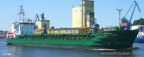
Vessel SC MARIGOT IMO: 9275115, MMSI: 636020666 Container Ship
UTC, 17.98500, -76.83667, course: -1, speed: 0
UTC, 17.98500, -76.83667, course: -1, speed: 0
2026-02-26 09:24:53 UTC, 17.98500, -76.83667, course: -1, speed: 0
Live AIS position:
UTC. Near Kingston Tinson Airport),
updated 2026-02-26 09:24:53 UTC.
Find the position of the vessel SC MARIGOT on the map. The latter are known coordinates and path.
marine traffic ship tracker show on live map
The current position of vessel SC MARIGOT is 17.98500 lat / -76.83667 lng. Updated: 2026-02-26 09:24:53 UTCCurrently sailing under the flag of Liberia
SC MARIGOT built in 2005 year
Deadweight:
16397 tDetails:
Last coordinates of the vessel:
UTC, 17.98500, -76.83667, course: -1, speed: 0UTC, 17.98500, -76.83667, course: -1, speed: 0
UTC, 17.98500, -76.83667, course: -1, speed: 0
2026-02-26 09:24:53 UTC, 17.98500, -76.83667, course: -1, speed: 0