 vesseltracker.com
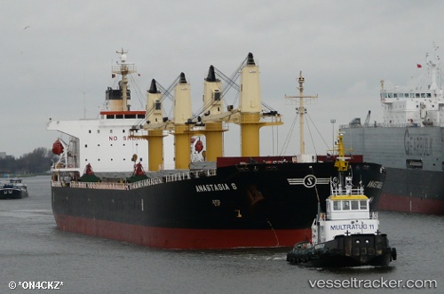
 PARAS
PARAS
Current Status
Where is the vessel?
PARAS is currently in Near Chittagong, based on AIS data received about 2h ago.
Latest AIS update:
Current position: 22.17272° N, 91.76702° E (Near Chittagong)
Average speed (last 7 days): Loading…
Average speed (last 30 days): Loading…
Vessel profile: PARAS is a Bulk Carrier with dimensions 32m x 190m.
This page combines live AIS, route history, probable destination signals, nearby traffic, and port activity for practical vessel monitoring.
The current position of vessel PARAS is 22.17272 lat / 91.76702 lng. Updated: 2026-03-25 06:16:09 UTCNearest reference points:
- Near Chittagong
- 12 nm NW of Chattogram
- 23 nm NW of Cox's Bazar
Currently sailing under the flag of Marshall Islands ![]()
PARAS built in 2004 year
Deadweight:
52808 tDetails:
Live Vessel PARAS Analytics (details, animations, etc.)
Recent AIS points (UTC):
2026-03-25 00:19:10 UTC · 22.16948, 91.76763 · SOG 0 kn · COG -1°2026-03-25 02:19:09 UTC · 22.16920, 91.76763 · SOG 0 kn · COG 354°
2026-03-25 03:19:09 UTC · 22.16922, 91.76800 · SOG 0.2 kn · COG 342°
2026-03-25 06:16:09 UTC · 22.17272, 91.76702 · SOG 0.1 kn · COG 174°