 vesseltracker.com
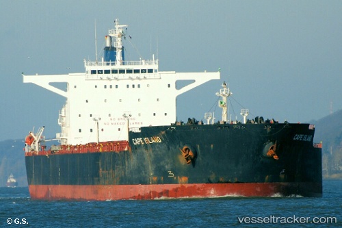
Vessel Cape Island IMO: 9277711, MMSI: 212054000 Bulk Carrier
UTC, 5.67042, 97.28483, course: 99, speed: 10.6
UTC, 5.60888, 97.46912, course: 97, speed: 10.2
2026-02-26 06:02:33 UTC, 5.51578, 97.94548, course: 102, speed: 10.8
Live AIS position:
UTC. 13 nm NW of Langsa Venture FPSO),
updated 2026-02-26 06:02:33 UTC.
Find the position of the vessel Cape Island on the map. The latter are known coordinates and path.
marine traffic ship tracker show on live map
The current position of vessel Cape Island is 5.51578 lat / 97.94548 lng. Updated: 2026-02-26 06:02:33 UTCDetails:
Last coordinates of the vessel:
UTC, 5.74270, 96.98873, course: -1, speed: 9.5UTC, 5.67042, 97.28483, course: 99, speed: 10.6
UTC, 5.60888, 97.46912, course: 97, speed: 10.2
2026-02-26 06:02:33 UTC, 5.51578, 97.94548, course: 102, speed: 10.8