 vesseltracker.com
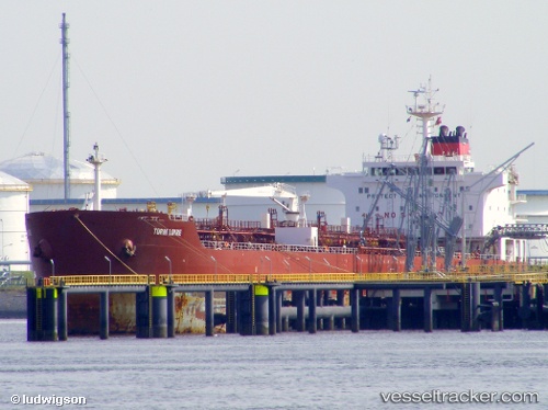
Vessel ATLANTICOS IMO: 9282986, MMSI: 273617650 Oil/Chemical Tanker
UTC, 38.35500, 131.47166, course: -1, speed: 13
UTC, 39.07500, 131.49667, course: -1, speed: 14
2026-03-24 19:07:55 UTC, 39.47667, 131.51167, course: -1, speed: 14
Live Vessel ATLANTICOS Analytics (details, animations, etc.)
Live AIS position: UTC. 123 nm N of Ulleung-gun), updated 2026-03-24 19:07:55 UTC.Find the position of the vessel ATLANTICOS on the map. The latter are known coordinates and path.
marine traffic ship tracker show on live map
The current position of vessel ATLANTICOS is 39.47667 lat / 131.51167 lng. Updated: 2026-03-24 19:07:55 UTCCurrently sailing under the flag of Russia
Details:
Last coordinates of the vessel:
UTC, 37.95667, 131.45500, course: -1, speed: 13UTC, 38.35500, 131.47166, course: -1, speed: 13
UTC, 39.07500, 131.49667, course: -1, speed: 14
2026-03-24 19:07:55 UTC, 39.47667, 131.51167, course: -1, speed: 14